Note: this page is only a draft, but this project is hosted on a public repository where anyone can contribute. Learn how to contribute in less than a minute.
ArcGIS Geostatistical Analyst - Extension
It is not always possible or practical to predict and model spatial phenomena through real world observations. ArcGIS Geostatistical Analyst lets you generate optimal surfaces from sample data and evaluate predictions for better decision making.
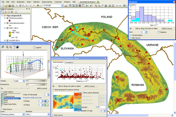
Table of contents
Introduction
Learn more about ArcGIS Geostatistical Analyst Extension
Additional resources
Probably not all the resources are in this list, please use the ArcGIS Search tool looking for: "Geostatistical Analyst".
Related products or technologies
List of all Esri products in the "Esri Products - ArcGIS Platform" group
Contributions
Feel free to improve/extend this resource page using this template (Contribution Guide).