Note: this page is only a draft, but this project is hosted on a public repository where anyone can contribute. Learn how to contribute in less than a minute.
ArcGIS Maritime - Extensions
View your bathymetry, expose rich foundational geospatial information coming from electronic navigational charts, and much more.
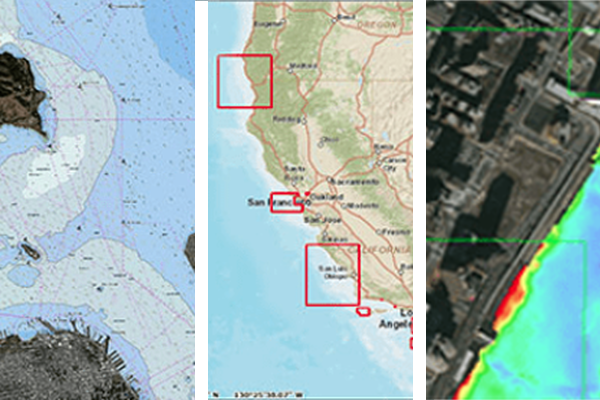
Table of contents
Introduction
There are extensions for ArcGIS ArcMap and ArcGIS Enterprise:
ArcGIS for Maritime: Bathymetry: Get a comprehensive view of your bathymetry data assets. Store data once, reuse it many times.
ArcGIS for Maritime: Charting: Navigational charts are just the beginning. Your charts contain rich data with uses beyond navigation.
ArcGIS for Maritime: Server: Electronic navigational charts contain rich, foundational geospatial information. When made available as web services, this authoritative information reaches a wider audience. It supports a variety of sectors such as Transportation, Ports, Energy, Ocean Science, Defense, and Coastal Zone Management, or managing sovereign boundaries and national assets for better governance.
Additional resources
Probably not all the resources are in this list, please use the ArcGIS Search tool looking for: "ArcGIS Maritime".
Contributions
Feel free to improve/extend this resource page using this template (Contribution Guide).