Note: this page is only a draft, but this project is hosted on a public repository where anyone can contribute. Learn how to contribute in less than a minute.
Drone2Map for ArcGIS
Allow you to create orthomosaics, 3D meshes, and more, in ArcGIS Enterprise from your drone-captured still imagery ― in minutes, not days.
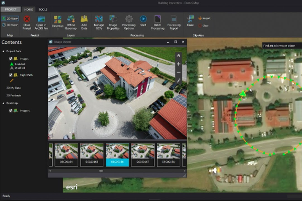
Table of contents
- Introduction
- Training
- Resources
- News
- Related technologies
- Get the tool
- People you should know
- Additional resources
- Partners and startups
- Contributions
Introduction
If you are planning to work with drones, Drone2Map is an app that allow you to take geolocated imagery and build ....
If you are interested on working with drones you will also probably interested on working with ArcGIS Server and ArcGIS Image Server
Training
Tutorials
Videos
Introducing Drone2Map for ArcGIS
ArcGIS Apps: Drone2Map for ArcGIS: Bring Drone Imagery into ArcGIS
Resources
- Storymap: Unlock the insights hidden in your Drone Images: Drone Point Clouds Classification
News
- Drone2map Esri Blog
- Parking Lot Vehicle Detection Using Deep Learning: Using Deep Learning with Drone2Map, Raster Functions, AGOL, Operations Dashboard, & Deep Learning tools in ArcGIS Pro to understand Parking Utilization per Time
Related technologies
Get the tool
- Premium app
- Thought the startup program
People you should know
Please find the ArcGIS Experts (story tellers and developers) on this topic here: https://esri-es.github.io/arcgis-experts/?topic=Drone2Map
They don't work on the support team and some may even not work at Esri, but they are opening some projects and sharing insights related to this technology so we recommend you to follow them.
Additional resources
Probably not all the resources are in this list, please use the ArcGIS Search tool looking for: "drone2map".
Related products or technologies
List of all Esri products in the "Esri Products - ArcGIS Platform" group
Localized resources
Spanish
Partners and startups
Organizations and the type of relation with this product:
| Company | Relation type | Country |
|---|---|---|
| SRM | Services | Spain |
Is there any partner or startup you can had with expertise with this product?, learn how to contribute in less than a minute
Contributions
Feel free to improve/extend this resource page using this template (Contribution Guide).